In order to comprehend planetary origins and evolution, scientists have been researching the Earth’s core for a very long time. Recently, they made an unexpected and somewhat intriguing discovery regarding the Earth’s core.
According to Science Alert, scientists have created a map with the highest resolution ever of the underlying geology of the southern hemisphere of the Earth, suggesting that an ancient ocean floor may encircle the core.
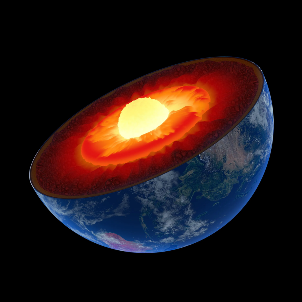
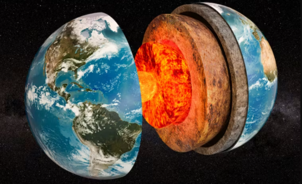
The investigation found this thin yet thick layer 2,900 kilometers (1,800 miles) below the surface.

Researchers from The University of Alabama have identified a stratum between the core and the mantle that is likely a narrow, dense ocean floor that is submerged.
Dr. Samantha Hansen, the George Lindahl III Endowed Professor in Geological Sciences at UA and lead author of the study, stated, “Seismic investigations, such as ours, provide the highest resolution imaging of the interior structure of our planet, and we are finding that this structure is vastly more complex than previously believed.”
Our research establishes crucial links between the superficial and deep Earth structures and the global processes that drive our planet.

“By analyzing thousands of seismic recordings from Antarctica, our high-definition imaging method discovered narrow anomalous zones of material at the CMB everywhere we investigated,” said study co-author Edward Garnero, a professor at Arizona State University’s School of Earth and Space Exploration.
According to the news release, these subtle signals were used to map a variable layer of material across the study region that is pencil thin, measuring in the tens of kilometers, in comparison to the Earth’s dominant layers. Strong wave speed reductions are one of the characteristics of the anomalous core-mantle boundary coating, giving rise to the zone’s moniker of ultra-low velocity zone.

